The World Meteorological Organization says El Niño is firmly established and is expected to strengthen into a very strong event in the coming months, raising the likelihood of disruptions to rainfall and temperature patterns through early 2027.
In a September 3 update, the UN weather agency said forecasts show an “exceptionally high” likelihood—nearly 100%—that the Pacific climate pattern will persist through February. That is a forecast, not a guarantee of a particular disaster in any one country. But it gives governments and humanitarian agencies a new basis to prepare for heightened risks of drought, flooding and extreme heat.
The warning has received prominent independent coverage from the BBC and Al Jazeera, both reporting from the WMO’s latest assessment. The underlying WMO release is the primary source for the forecast.
A stronger El Niño signal from the Pacific
El Niño is the warm phase of a recurring Pacific Ocean and atmosphere pattern known as ENSO. It changes winds, ocean temperatures and atmospheric circulation, which can in turn alter weather far from the tropical Pacific. The pattern occurs naturally; WMO stresses that it is not caused by climate change. Its effects, however, unfold in a world already made warmer by human activity.
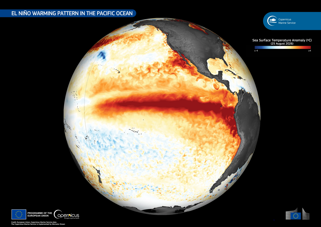
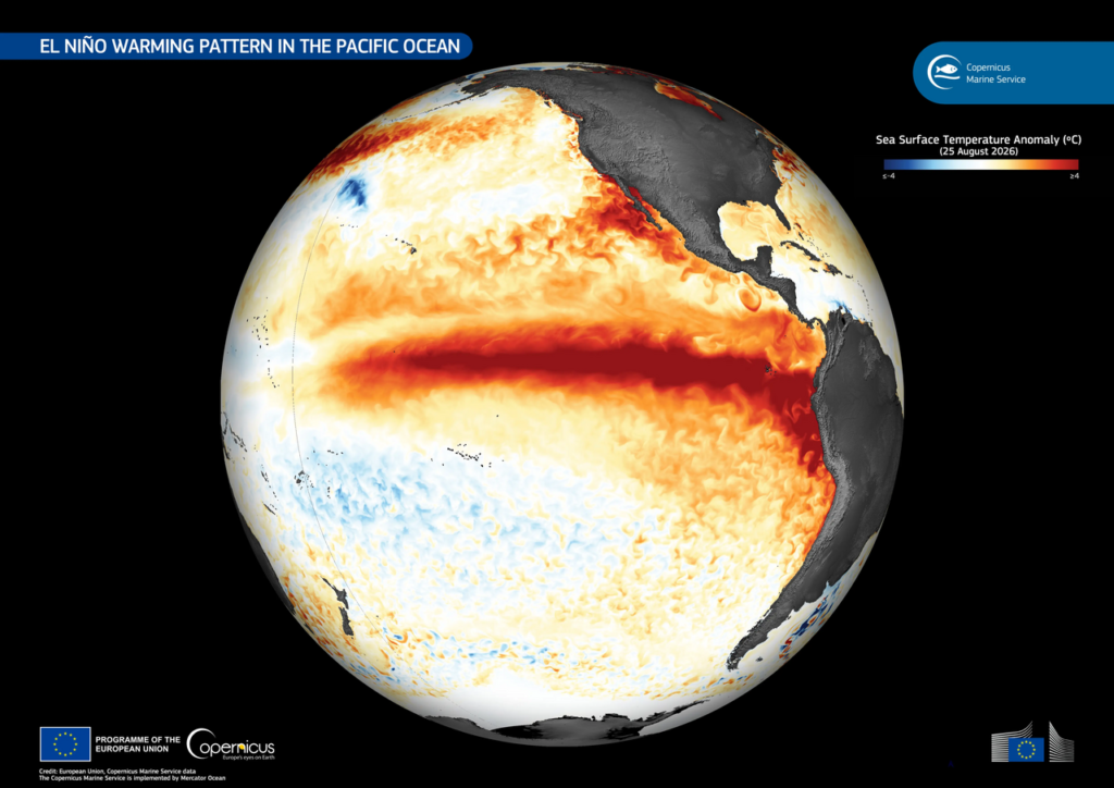
WMO said ocean conditions in the central and eastern equatorial Pacific support further strengthening. Its Niño 3.4 index—a widely used measure of sea-surface temperature anomalies in the region—averaged 1.5°C above normal from May to July and reached 2.0°C in July. Weekly readings from late July to mid-August ranged from about 2.2°C to 2.6°C above average, the agency said.
Subsurface temperatures were even more unusual in some places, exceeding average levels by more than 8°C during July and early August. WMO said the surface and subsurface signals, together with agreement among seasonal prediction systems, underpin its high confidence that El Niño will continue at least into early 2027.
What the El Niño forecast does—and does not—say
A very strong El Niño increases the chance of broad shifts in weather, but it does not produce the same result everywhere. WMO cautioned that the intensity of the event alone cannot determine how severe impacts will be in a specific place. Season, geography and other climate drivers, including conditions in the Indian and Atlantic Oceans, can reinforce or alter familiar patterns.
For September through November, the agency’s multi-model outlook points to a greater likelihood of above-normal temperatures across almost all land areas. It also describes a pronounced Pacific El Niño signal in forecast rainfall patterns. Those are probability-based seasonal outlooks, rather than local weather warnings; national meteorological services remain the appropriate authority for country- and community-level forecasts.
Past El Niño events have often been associated with drier conditions in parts of Southeast Asia, Central America and northern South America, while other regions can face heavier rain. The BBC reported that governments are already expanding early-warning and preparedness measures, including efforts aimed at wildfire, marine heat and flood risks. Such examples should not be read as proof that a specific outcome is inevitable this season.
Forecast confidence should be read alongside the limits of seasonal science. WMO’s projection describes the most likely broad conditions over months, while daily weather, the timing of rainfall and the scale of damage remain uncertain. Officials will need to pair this international outlook with local observations, vulnerability assessments and public warnings as the event develops.
Pressure to turn forecasts into preparation
The significance of the WMO update lies partly in the time it gives decision-makers. Climate-sensitive sectors—agriculture, health, water, energy and disaster management—can use seasonal guidance to review contingency plans, target early-warning messages and prepare resources before impacts peak.
WMO Secretary-General Celeste Saulo said the agency and national weather services were stepping up preparedness and early-warning efforts. UN Secretary-General António Guterres described the event as being “supersized” and urged climate action and protection for people at risk. The immediate operational question is less whether every projected impact will occur than whether vulnerable communities receive usable, local information in time.
The agency expects El Niño to peak toward the end of 2026, with possible climate effects continuing into 2027. Its next updates, and guidance from national weather agencies, will be important in showing whether the current trajectory holds and how regional risk assessments change.
Sources
- World Meteorological Organization: El Niño set to become very strong
- BBC News: UN warns of “supersized” El Niño
- Al Jazeera: UN warns El Niño could be strongest in decades
Our standards: Learn how The Daily Vantage verifies and attributes reporting in our Editorial Policy.