The Nepal glacier collapse climate-change analysis finds that rapid Himalayan warming likely weakened ice, permafrost and rock around the slope that failed on August 26, 2026—but it does not claim warming was the sole or directly proven cause of the disaster. Researchers describe climate change as a destabilising factor acting alongside geology, past earthquake damage, precipitation and intense human exposure in river valleys.
At a glance
- A rock wall and glacier section collapsed near Nepal’s border with China, creating a fast rock–ice avalanche and debris flood.
- Researchers found long-term glacier thinning, permafrost degradation and exceptionally warm conditions that probably increased instability.
- The study did not determine that this exact collapse would have been impossible without human-caused climate change.
The Nepal glacier collapse climate change question is difficult because this was not a conventional rainstorm or heatwave. World Weather Attribution assembled specialists in glaciology, hydrology, seismology, climate science and disaster risk to examine a chain of interacting processes. Their September 17 analysis says the event began with a large rock-wall collapse from Langtang Lirung that pulled part of the overlying glacier into the valley.
What happened during the Nepal rock–ice avalanche?
According to the research team, the collapsing material fell roughly 1,400 metres before becoming a rock–ice avalanche, then a debris flood and finally a water-dominated flash flood. The flow reached the Rasuwagadhi border area, about 22 kilometres downstream, within seven minutes. The study estimated an average initial speed of about 188 kilometres per hour.
This speed helps explain why normal river-flood warning systems could not provide enough lead time in the worst-hit locations. The disaster destroyed settlements, roads, bridges and hydropower infrastructure and carried debris far downstream. World Weather Attribution reported more than 1,300 confirmed deaths as of September 14, with thousands still missing; casualty figures can change as authorities continue identification and recovery.
How did warming contribute to the Nepal glacier collapse risk?
The researchers identified several mechanisms. Regional glaciers have been losing mass for decades at a rate equivalent to more than half a metre of thinning per year. Retreating ice can remove physical support from nearby rock walls. Warming also degrades permafrost and thaws ice inside fractures, reducing the strength that once helped bind rock together.
Meltwater and rain can raise pressure inside existing cracks. The study found unusually warm conditions before the failure and estimated that human-caused climate change added about 1.5°C to July–August temperatures near the site compared with a preindustrial climate. It also found that the freezing level has moved upward by roughly 100 metres per decade during monsoon and post-monsoon seasons in recent decades.
What did the scientists not conclude?
The analysis explicitly says it did not determine whether the exact avalanche would have occurred without human-induced climate change. Establishing that would require more evidence connecting atmospheric conditions to subsurface temperatures, water pressure in fractures and the mechanical development of the slope.
That caveat prevents a misleading “climate change caused it” headline. Geological weaknesses determined where the slope could fail, while the 2015 earthquake may have left long-lasting damage. The evidence instead supports a more precise conclusion: rapid warming is increasing the likelihood and potential severity of complex high-mountain hazards.
Why it matters
The Nepal glacier collapse climate change analysis exposes a limit of adaptation. Nepal has improved conventional flood-warning systems, but a cascading rock–ice avalanche moving at extreme speed is much harder to forecast. In narrow Himalayan valleys, moving every settlement, road and hydropower facility away from rivers is socially and economically unrealistic.
This matters across the wider Himalayan region, including river systems that affect South Asia. Bangladesh was not in the direct path of this disaster, so the study should not be presented as a specific warning for Bangladesh. The regional lesson is that glacier retreat, unstable slopes and sudden debris flows can damage cross-border infrastructure and water systems, requiring better earth observation and data sharing.
For broader climate context, see The Daily Vantage’s report on the Google–Terradot climate agreement, which addresses mitigation rather than mountain adaptation.
What should governments do next?
The researchers recommend stronger high-Himalaya observation, slope monitoring, risk communication and transboundary sharing of data. Recovery also needs to recognise that some losses cannot be prevented through warnings alone. Future reconstruction decisions should use updated hazard maps and account for compound events, not only historical river-flood boundaries.
Sources
- World Weather Attribution full analysis and findings
- Reuters report on the Himalayan collapse research
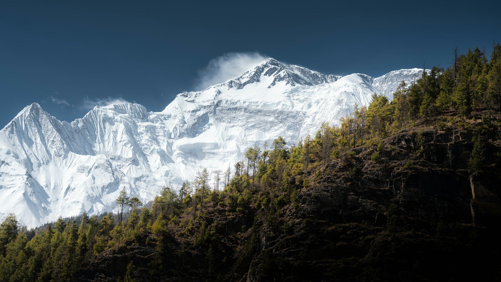
Featured image: Himalayan mountain landscape in Nepal, photographed by Slava Auchynnikau via Unsplash. Used as an illustrative image, not a photograph of the collapse.