UN Equal Earth map vote: On September 4, 2026, the United Nations General Assembly backed a resolution encouraging governments, schools and technology companies to use the Equal Earth projection, a map designed to show continents at more accurate relative sizes. This article explains that vote and the mapping choices behind it; it is not a new vote announced today.
The UN Equal Earth map vote, adopted on September 4, passed 164–1 with six abstentions. The resolution was sponsored by Togo and supported by African states; the United States voted against it. It is not legally binding and does not replace the Mercator projection for marine or air navigation.
What the UN Equal Earth map vote changes
The resolution encourages institutions to move away from maps that distort the apparent size of land masses. On a Mercator map, regions nearer the poles are enlarged, making Greenland appear close in size to Africa. Africa is in fact about 14 times larger than Greenland.
Equal Earth is an equal-area projection: it is designed to preserve the relative area of countries and continents, while still presenting the world in a familiar single-map shape. The General Assembly’s action is a recommendation, not a rule requiring countries or companies to change their maps.
Why the resolution matters
Supporters say map design influences how people understand the scale and place of countries in the world. Togo has said it plans to change its school geography materials and will press for wider use of the projection. The African Union has previously supported the broader campaign to reduce use of the Mercator map in non-navigation settings.
The practical choice depends on what the reader needs to compare. Esri’s Mercator documentation explains why standard Mercator can show constant compass bearings as straight lines but enlarges areas toward the poles. The Equal Earth developers describe their projection as preserving relative area, with a different compromise over shape.
Which map answers which question?
| Reader’s question | Useful map property | Limit to remember |
|---|---|---|
| How large is Africa compared with Greenland? | Equal Earth preserves relative area. | Equal area does not make every distance or shape exact. |
| What constant compass bearing should a ship follow? | Standard Mercator represents rhumb lines as straight lines. | A constant-bearing route is not necessarily the shortest route. |
| Does the vote change borders or sovereignty? | A projection changes how a curved surface is drawn. | Changing the projection alone does not determine political borders. |
A classroom can therefore use an equal-area map to compare land sizes while a navigator uses a chart designed for a different task. “More accurate” needs a stated purpose: this vote concerns comparative size, not a flat map that eliminates every kind of distortion.
What happens next
The resolution itself does not change the maps shown in textbooks, websites or apps. Any adoption will depend on decisions by governments, schools, publishers and technology companies. The debate is likely to continue because every flat world map makes some compromise; Equal Earth prioritizes comparative area rather than navigation.
Explore more international coverage in The Daily Vantage’s World section.
Sources: Reuters; Associated Press; UN Meetings Coverage.
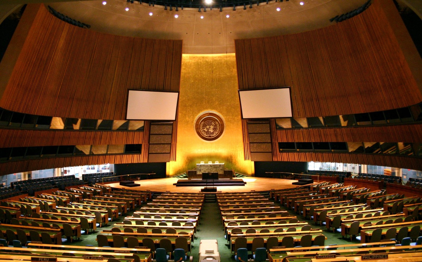
Featured image: file photograph of the United Nations General Assembly hall, New York City, 17 December 2006. Patrick Gruban (cropped by Pine), Wikimedia Commons, CC BY-SA 2.0. It does not depict the September 2026 vote.